This unit starts with students with a reflection on what students learnt in their geography lessons in primary school. We then establish the human and physical context for the United Kingdom and the difference between human and physical factors. Students are introduced to the key theme of relief and this is developed throughout the unit.
Students explore the Aberfan disaster in South Wales and seek to understand who or what was to blame, at different scales.
The United Kingdom, made up of England, Scotland, Wales and Northern Ireland
Great Britain refers to the whole of England, Scotland and Wales in combination, but not Northern Ireland
Relating to naturally occurcing geographical phenomenon. For example rivers, volcanoes and mountains.
Relating to human phenomenon in geography. For example; cities, migration, sea defences.
Relating to the different scales that geographical phenomenon can be understood; local, regional, national and global
This unit will help the individual develop a sense of place in the world.
This unit will enable students to consider their relationship with the wider environment.
Diversity is a key concept in geography. Studying the continent of Africa allows us to understand diversity at a range of different scales; within the continent, at a national scale within countries, at regional levels within countries and at a local level, too. We will explore the reasons behind the diversity of Africa and its nations; human and physical. We will also explore the impact of past and present connections to nations within Africa and how stories of Africa aren't always represented fairly.
Students will complete a presentation on two contrasting nations within Africa to help show diversity.
The variety of plant and animal life in a particular habitat.
Students will be developing a strong sense of what the concept of diversity means and the underlying reasons for it.
Students will discuss and debate what diversity means for a range of communities.
Students will visit Chepstow castle where they will being to understand the early connections between humans and their physical environment. What is it that made Chepstow castle a good settlement site? Students will start to put the theory they have learnt into practice by investigating the physical environment. They will conduct annotated sketch maps of the area and compare these to OS maps to check the physical geography in and around the area. They will also look at the human connections that Chepstow has with other settlements in the area. Students will gather a range of evidence to support their analysis, draw conclusions and evaluate their investigation.
Students will be assessed on a longer written piece of writing that looks at their ability to analyse, draw conclusions and evaluate an investigation.
Data which is collected first hand. For example, conducting an interview or questionnaire, collecting data on river depth and width
Data which has not been collected by the individual. For example, using climate data on temperature from the BBC weather website.
A geographical question that functions as the aim of your investigation
A set of instructions and intentions for the order of an investigation. The method should allow an individual to replicate and recreate their investigation to get the same results.
Taking data and presenting it visually. For example, making a graph or developing a colour map
Students will be developing their inquiry skills.
Students will be developing their interpersonal skills by working in small groups.
Weather and climate are becoming increasing complicated and controversial issues. There is debate over whether of not climate change is real for instance. Today's students need to know and understand the weather and climate on this planet so they can make informed decisions as adults. The unit focuses on understanding the key principles behind weather, climate and rain, so that students can then begin to understand the likely effects of climate change.
Students will complete a short test.
The day to day conditions of the atmosphere: temperature, precipitation, humidity, cloud cover
The average conditions found in a location over a period of 10 years
An area within the world which shares the same climatic conditions; e.g the Mediterranean
The phenomenon of a changing climate. Polar regions are experiencing warming, some equatorial regions are facing increasing drought.
Rainfall which is formed as a result of warm air rising and condensing over mountains
Students will start to understand their relationship with the wider world. Students will start to see how their use of energy has wider effects on the world.
Students will be learning to debate, discuss and argue.
Students will develop an understanding of how Russia is a globally significant place and home to a diverse range of landscapes and environments. In the first few lessons, students will explore Russia’s varied physical regions, as defined by their landforms, climate, vegetation and soils. They will analyse enormous spatial variations, from hot desert to icy tundra, not forgetting the marine environment of the Arctic Ocean - large parts of which Russia claims ownership over. Students will learn about the role that geological, climatic, ecological and human processes have all played in Russia's history and the different timescales for the changes that these processes bring to places. For instance, not only will students be made aware of tectonic movements taking place hundreds of millions of years ago, they will also examine how contemporary climate change may be affecting Russian ecosystems.
A long answer question explaining how and why Russia is a powerful place
Powerful developing economies such as Brazil, Russia, India and China
are materials from the Earth that are used to support life and meet people's needs. Any natural substance that humans use can be considered a natural resource. Oil, coal, natural gas, metals, stone and sand are natural resources.
the standard of living and quality of life of human inhabitants.
the distribution, concentration and density of people over the terrestrial surface, as well as differences in population size, changes and characteristics, like structures and migration.
Interdependence between countries means that they are dependent on one another in some way. For example, many developing countries are dependent on developed countries for manufactured goods or resources..
Students look to understand different human and physical processes and how these play a role in influence place.
Students develop an appreciation for interdependence of natural resources.
In this unit, we start with understanding the location of Bristol and how this gave rise to important local, regional and global connections. Students question the significance of Bristol harbourside in the development of the city and begin to use OS maps to build up a picture of Bristol.
Students will undertake a short OS map quiz.
A settlement is a place where people live. Settlements can be as small as a single house in a remote area or as a large as a mega city (a city with over 10 million residents).
Human characteristics of place include land use, density of population, language patterns, religion, architecture, and political systems.
Relating to the elevation, altitude and gradient of land; Mountains are steep relief
a group of manufacturers or businesses that produce a particular kind of goods or services; historic industry in Bristol revolved around the success of the harbourside
Students will consider their relationship with Bristol and challenge their perceptions of the city.
Students will consider their own background when comparing this to other settlements.
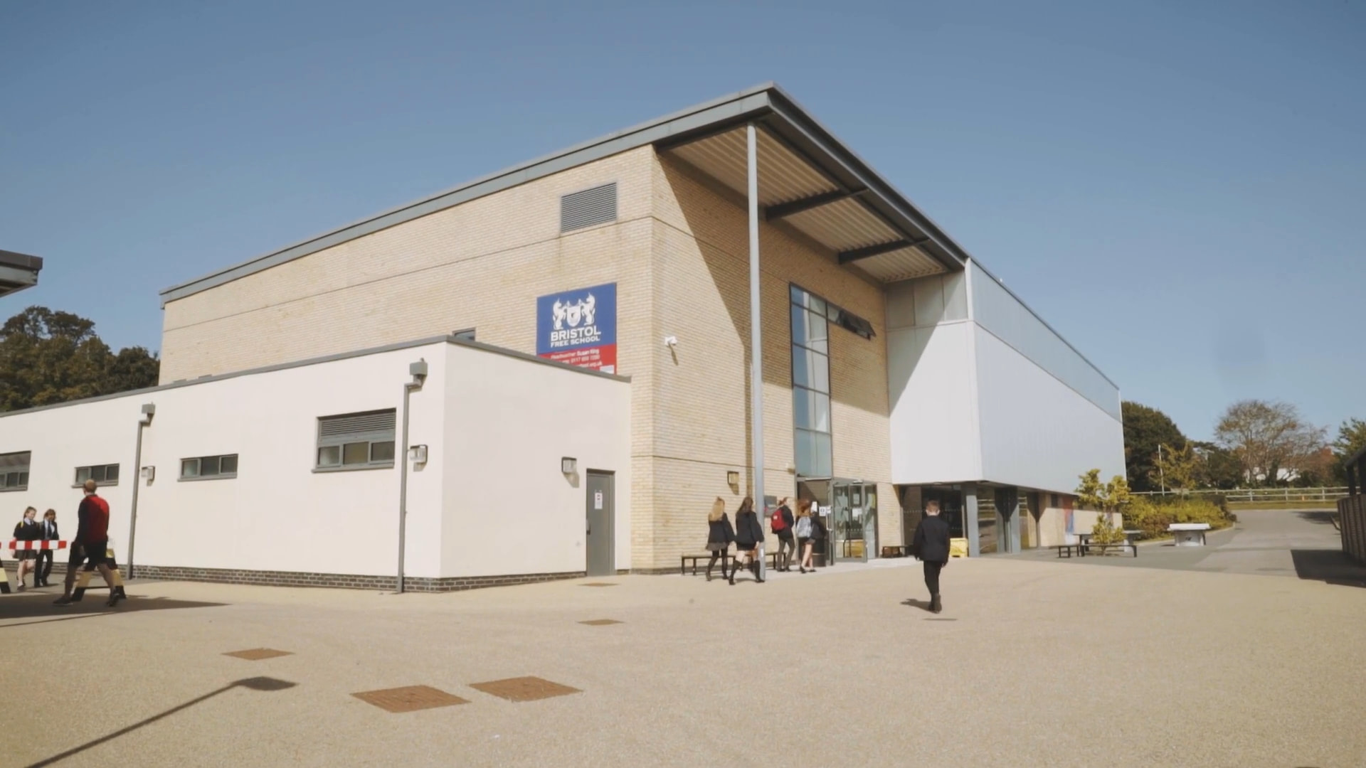
Bristol Free School is a friendly, well-disciplined and well-organised community, in which every child can thrive.

Bristol Free School,
Concorde Drive,
Bristol BS10 6NJ
© Copyright Bristol Free School 2011-2025 • Russell Education Trust
website design by Knox